Make My Drive Fun
A free road trip planner that finds toilets, EV chargers, parks, and play stops along your actual route not 30 minutes off it.
Why Use Make My Drive Fun?
Customized Routes
Map your journey instantly. Just enter start and end points to generate a route that hugs the road.
Quick Share
Plan once, share everywhere. Post to Facebook, X (Twitter), WhatsApp, or copy a direct link.
Discover Hidden Gems
Don’t just drive past. Find historic castles, local food, parks, and beaches right on your path.
Smart Details
Get the info you need: descriptions, addresses, opening hours, and even Wikipedia summaries.
Seamless Navigation
One-tap handoff. Open any stop directly in Google Maps, Apple Maps, or Waze to start driving.
Interactive Map
Powered by OpenStreetMap and Leaflet, giving you detailed, zoomable, and reliable mapping.
Features at a Glance
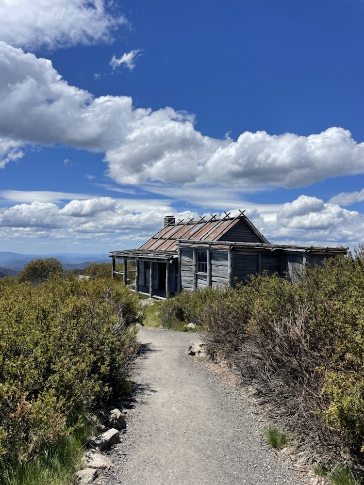
Historic Sites
Uncover rich history along your route with detailed Wikipedia summaries.
Food & Dining
Discover the best local bakeries, pubs, cafes, and bars to satisfy cravings.
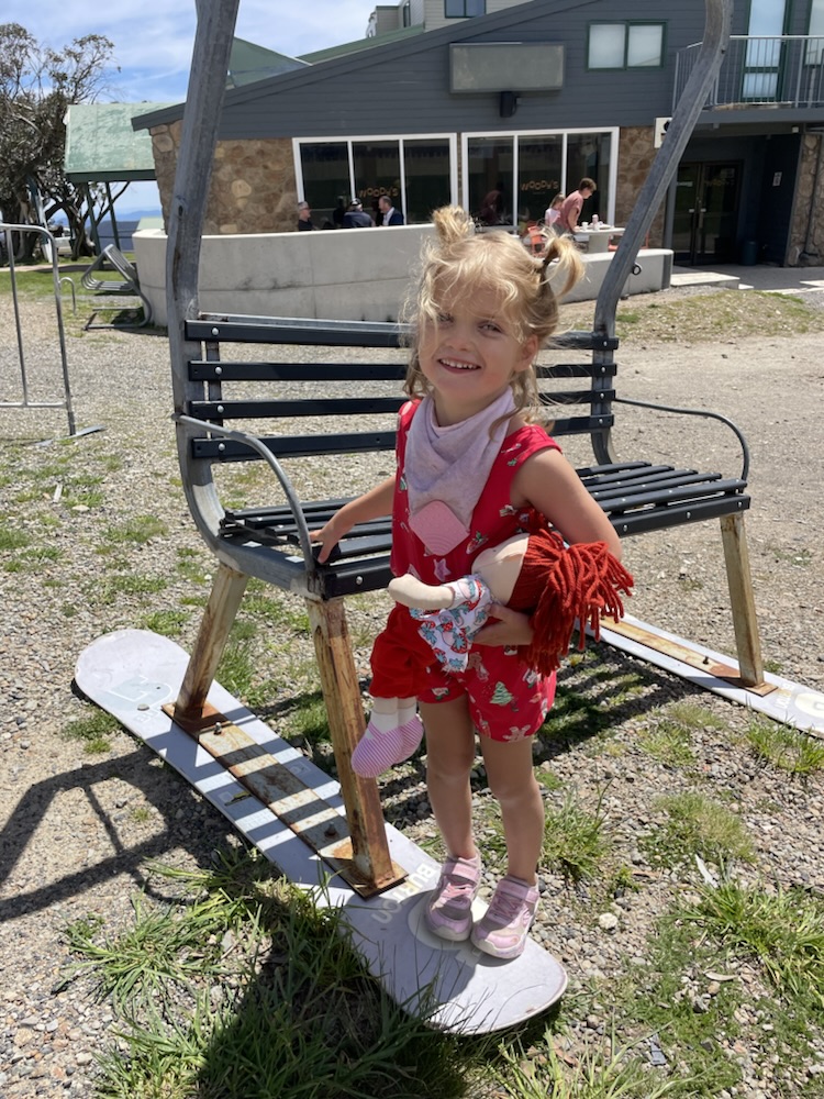
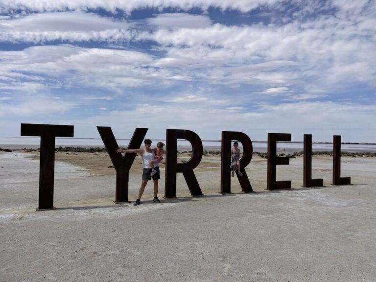
Natural Attractions
Find parks, lakes, beaches, and campsites for a refreshing outdoor break.
Convenience
Locate essentials like petrol stations, toilets, shops, and post boxes.
Make Every Journey an Adventure
Don’t just travel—explore. The Fun Route Planner transforms ordinary trips into extraordinary adventures, highlighting exciting stops tailored to your interests.
| Search Variant | Quick Answer |
|---|---|
| make my drive easy tool | Our original tool to find stops, toilets, and fun along your route. |
| makemydrivefun | All one word? You got it — this is the same free road trip planner. |
| make my drive fun australia | Yes, it works worldwide (UK, Europe, Australia, USA). |
| make.my drive fun alternative | With or without the dot, it works the same. |
| make me drive fun | A common typo, but yes, we are the destination for fun drives. |
| make my drive fun europe | Fully supported in Europe for finding toilets, parks, and EV chargers. |